We study the shape of Earth. 
.jpeg/800px-GPS_satellite_approaching_23_years_on_orbit_(1060259).jpeg)
49 words
🖼️ Images & Media (20)

GPS antenna and receiver Mount Blue Sky...
Geoid undulation 10k scale.jpg

Surface of latitude ellipsoid cone.gif

WGS84_mean_Earth_radius.svg

Datum Shift Between NAD27 and NAD83.png
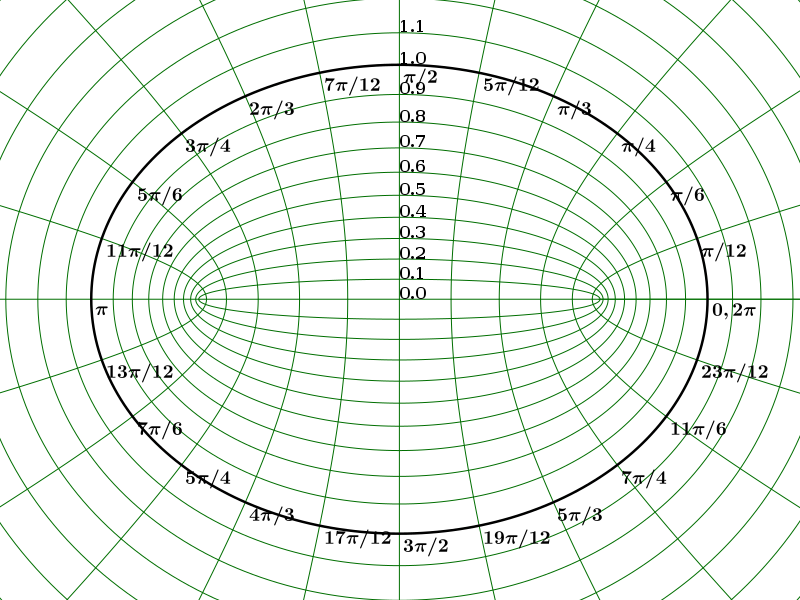
Elliptical coordinates grid.svg

Litography archive of the Bayerisches...

An-illustration-of-height-measurement-usin...
GPS satellite approaching 23 years on...

Geodetic Control Mark.jpg
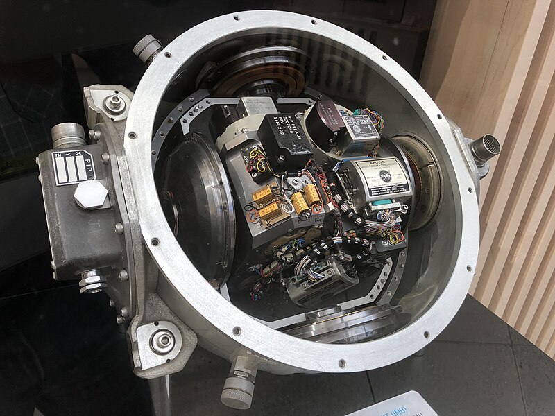
Apollo IMU at Draper Hack the Moon exhibit.agr.jpg

AxialTiltObliquity.png
+ 8 more
More to explore
✨ What else?
Related topics you might enjoy
🔬 Go deeper
More advanced topics to explore
🪜 Step back
Simpler topics to build understanding
📚
Content adapted from Wikipedia
|
Readability: FK 15.2
|
Vital Level 4