The Dardanelles is a narrow sea path. 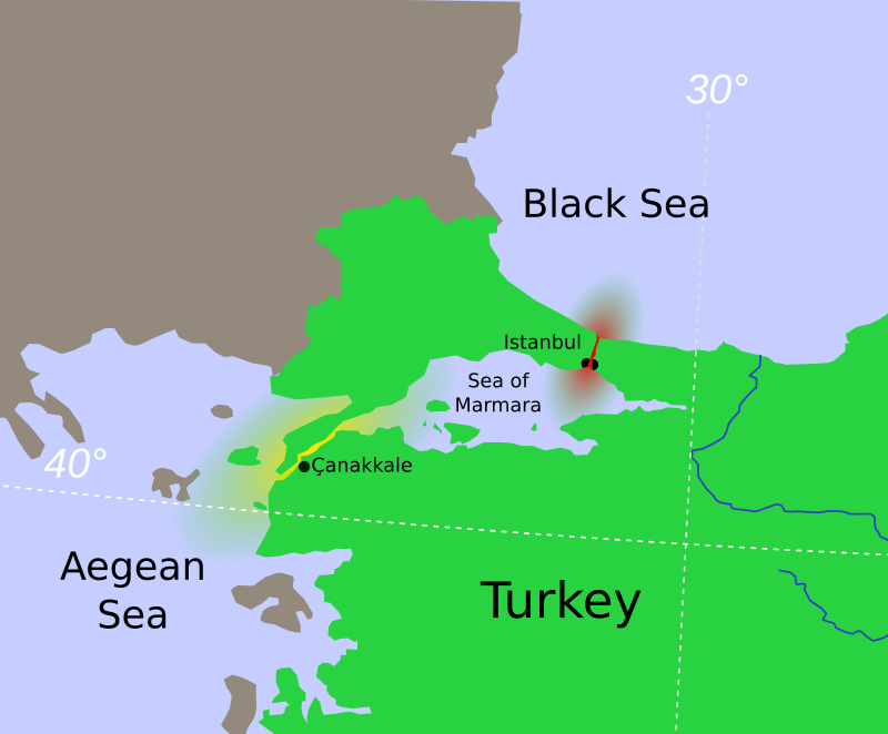

62 words
🖼️ Images & Media (9)
Turkish Strait disambig.svg
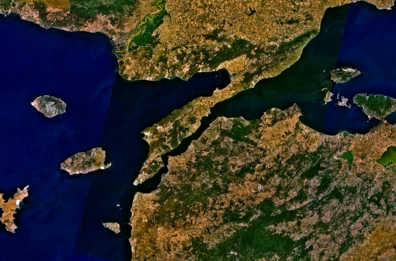
Gallipoli peninsula from space.png

Xerxes lash sea.JPG
Map of the Dardanelles - Belon Pierre - 1554.jpg

Landing French-Gallipoli April 1915.jpg
.jpg/800px-Landing_at_Gallipoli_(13901951593).jpg)
Landing at Gallipoli (13901951593).jpg
.jpg/800px-View_of_Anzac_Cove_-_Gallipoli_Peninsula_-_Dardanelles_-_Turkey_-_01_(5734713946).jpg)
View_of_Anzac_Cove_-_Gallipoli_Peninsula_-...

Gallipoli ANZAC Cove Sphinx 2.JPG

1915 Çanakkale Bridge1.JPG
More to explore
✨ What else?
Related topics you might enjoy
🪜 Step back
Simpler topics to build understanding
📚
Content adapted from Wikipedia
|
Readability: FK 13.6
|
Vital Level 4