A space ship went to space. 

50 words
🖼️ Images & Media (7)
Srtm 1.jpg

Satellite image of Cape peninsula.jpg
_-_3732120691.jpg/800px-Shuttle_Radar_Topography_Mission_(SRTM)_-_3732120691.jpg)
Shuttle_Radar_Topography_Mission_(SRTM)_-_...
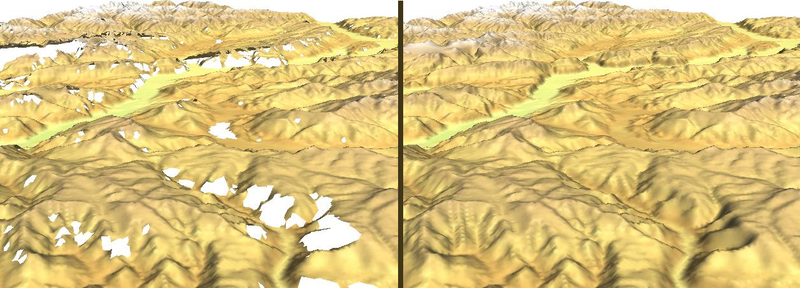
Zagros Mountains, Iran, SRTM Shaded...
Srtm voidfilling grass gis.png

Maps-for-free Sierra Nevada.png

SRTM1 Example Nevada.png
More to explore
✨ What else?
Related topics you might enjoy
🔬 Go deeper
More advanced topics to explore
🪜 Step back
Simpler topics to build understanding
📚
Content adapted from Wikipedia
|
Readability: FK 12.0
|
Vital Level 5