These are far north islands. _Islands,_northern_Canada.png/800px-Map_indicating_the_Queen_Elizabeth_(or_Parry)_Islands,_northern_Canada.png)
42 words
🖼️ Images & Media (13)
Map indicating the Queen Elizabeth (or...

NOAA - Alert, Nunavut, Canada.jpg

Craig_Harbour_1926.jpg
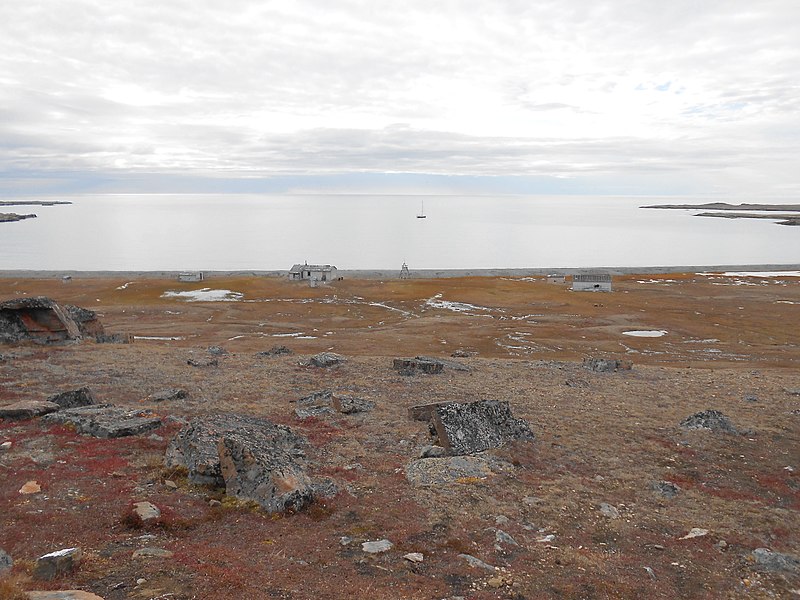
Johnson_Bay_Settlement_Dundas_Harbour_Qiki...

Downtown Eureka, Nunavut -e.jpg

FMARS 2009 hab.jpg

Fort Conger, Grinnell Land, May 20, 1883.jpg

Downtown Grise Fiord.jpg

Isachsen-1974-bw-1b.jpg

Mould_Bay_Weather_Station.jpg

Resolute Bay 1 1997-08-02.jpg

Tanquary_Fiord_15_1997-08-05.jpg
+ 1 more
More to explore
✨ What else?
Related topics you might enjoy
🔬 Go deeper
More advanced topics to explore
🪜 Step back
Simpler topics to build understanding
📚
Content adapted from Wikipedia
|
Readability: FK 14.0
|
Vital Level 5